
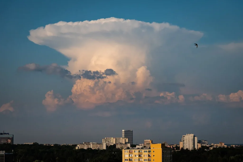
Thunderstorm avoidance is the one weather skill where “close enough” does not exist, and the numbers behind it are more specific than most pilots remember. The FAA’s Aeronautical Information Manual (AIM) gives concrete distances, coverage thresholds and tops heights, and newer research on ice crystal icing explains why the danger can extend well beyond what a radar screen shows. Here is a practical breakdown of what the AIM says in paragraphs 7-1-26 and 7-1-27, where each rule matters, and how I turn it into decisions. Always verify against the current AIM, because paragraph numbers and wording change.
The Numbers the AIM Actually Gives You
These are the guidelines I keep in my head, paraphrased from AIM 7-1-26 (Thunderstorms) and 7-1-27 (Thunderstorm Flying):
- 20 miles from severe storms. Stay at least 20 miles away from any thunderstorm that is severe or shows an intense radar echo, especially under the anvil of a large cumulonimbus.
- Severe turbulence can reach 20 miles out. The AIM says severe turbulence can extend up to 20 miles from severe storms and about 10 miles from less severe ones.
- 6/10 coverage means go around. If an area has thunderstorm coverage of 6/10 or more, circumnavigate the whole area instead of looking for a gap.
- Tops at 35,000 feet or higher are extremely hazardous, whether you see them visually or on radar.
- Gaps of 20 to 30 miles are not automatically safe. A path between strong radar echoes that far apart should not be assumed free of severe turbulence.
- Severe has a definition. A storm is severe if it produces winds of 50 knots or more or hail of 3/4 inch or larger, and METARs have no severe-storm descriptor to warn you.
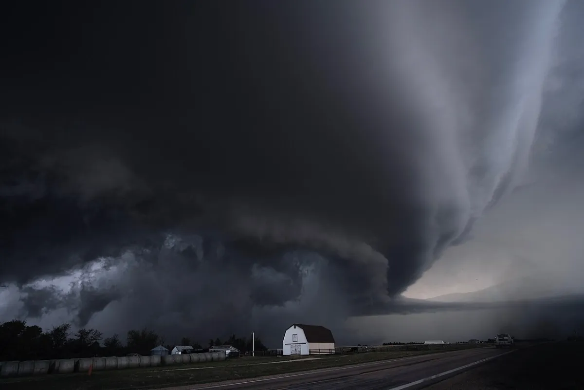
Never Fly Under It, Even If You Can See Through
The AIM is blunt: do not fly under a thunderstorm, even if you can see through it, because turbulence and wind shear beneath it can be hazardous. It also warns against flying beneath an anvil, which can hold severe or extreme clear-air turbulence. Low relative humidity between the surface and 15,000 feet makes strong outflow winds and severe turbulence under a storm more likely. For pilots flying in the pattern, the related rule is not to take off or land when a thunderstorm is approaching, since a gust front can cause a loss of control.
Why Radar and Looks Can Fool You
Three limits cause most bad decisions:
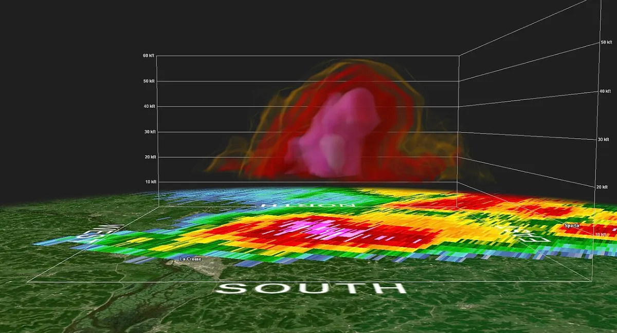
- Radar shows precipitation, not turbulence. Turbulence tends to rise with reflectivity, but the absence of a strong echo does not mean smooth air.
- Appearance is not a gauge. A storm’s look does not reliably tell you how bad its turbulence or hail is.
- Datalink radar is old. The AIM says radar mosaic imagery, such as NEXRAD, can be 15 to 20 minutes old and shows where weather was, not where it is. At 150 knots that is 38 to 50 miles, and a growing cell can change a lot in that time, so do not use it alone for tactical routing.
Also, do not assume ATC will provide radar guidance. Ask for it, tell a new controller when you are deviating, and confirm the original route is clear before you rejoin it.
Ice Crystal Icing: The Hazard Radar Can Miss
At jet altitudes, a different problem can appear near storms. Ice crystal icing happens when convective activity lofts large amounts of tiny ice crystals high into the atmosphere. Aviation authorities describe particles around the size of baking flour that can persist for hours after a storm has decayed, with the highest risk near cumulonimbus anvils and outflow. The crystals do not build up on the airframe, and they are largely invisible to onboard weather radar and ice detectors. Instead they can affect engines, where surfaces warm enough for crystals to partly melt and refreeze, and air data probes such as pitot tubes.
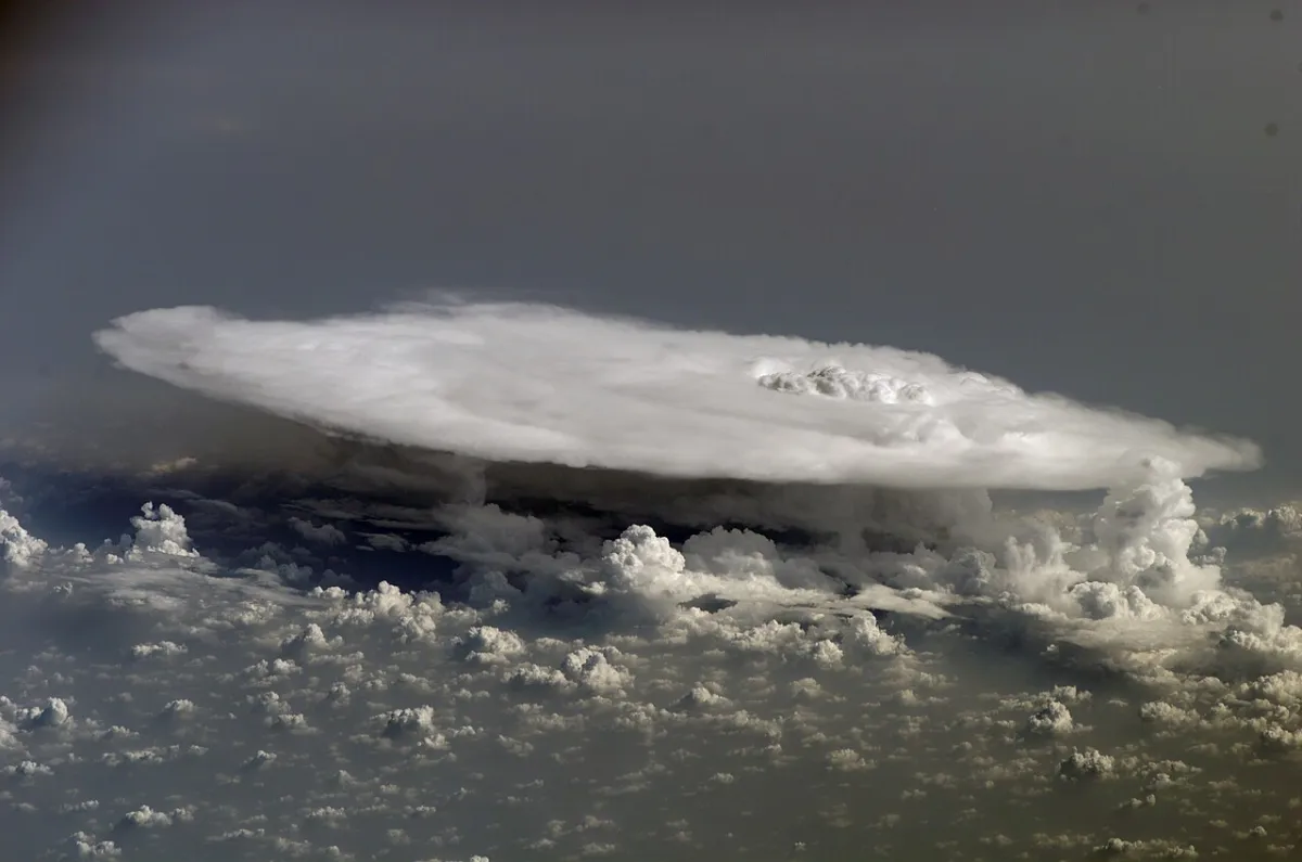
Cues described in industry sources include unexplained engine instrument changes, erratic temperature probe readings and what sounds like rain on a heated windscreen even though no liquid water is visible outside. Recommended avoidance in the same sources is to keep at least 20 nautical miles from intense convective cells, avoid flying downwind of strong convective tops where ice plumes can extend tens of miles, and avoid decaying anvils. If you fly turbine equipment, follow the airplane flight manual’s guidance for high-altitude icing. If you fly piston singles, it is mostly a reminder that the safe distance is not only about turbulence.
A Practical Decision Framework
Here is how I turn the rules into a plan before and during a flight:
- Before departure: Check the forecast for convective activity and write down your cutoffs, for example “20 miles from any intense echo, never into 6/10 coverage.” My guide on aviation weather for pilots covers the products to use, and my personal minimums piece shows how to set limits.
- En route: Update the weather picture often, treat stale radar as history and ask ATC for deviations early. A deviation of 30 miles at the first sign of a growing cell costs minutes, while a late one costs options.
- Decision point: If you cannot get around an area, the AIM’s advice is to divert and wait it out on the ground. See pilot decision making for the mental side.
If You Cannot Avoid It
The AIM lists steps for the rare case where penetration cannot be avoided, and it is clear that avoidance is the real answer. Before entering: secure belts, harnesses and loose objects, plan the shortest path, try to stay below the freezing level or above the minus 15 degrees C level to limit the worst icing, turn on pitot heat and engine anti-ice or carburetor heat as appropriate, set power for the turbulence penetration speed in your manual, turn up cockpit lighting to reduce lightning blindness, disengage altitude and speed hold, and tilt the radar to check other altitudes. Inside: keep your eyes on the instruments, hold the attitude, avoid chasing altitude and airspeed or changing power, and do not turn back, because a straight course usually exits fastest. Afterward, file a PIREP.
Why This Matters Right Now
Thunderstorm avoidance has been in the news since the November 1 Learjet 60 crash in Florida, where the crew had reported ice, turbulence and precipitation before a rapid descent. The NTSB has not determined a probable cause, so I will not connect the dots here. You can read the facts in my Learjet 60 crash timeline. What it does show is how little margin there is at high altitude when weather deteriorates.
Bottom Line
Remember four numbers: 20 miles from severe or intense storms, 6/10 coverage means go around, tops of 35,000 feet or more are extremely hazardous, and radar mosaic images can be 15 to 20 minutes old. Never fly under a storm or its anvil, and treat ice crystal icing as a reason for more distance, not less. These are summaries of FAA guidance for education, not a substitute for your instructor, your aircraft manual or the current AIM, Chapter 7, Section 1, so verify against current FAA sources.

