
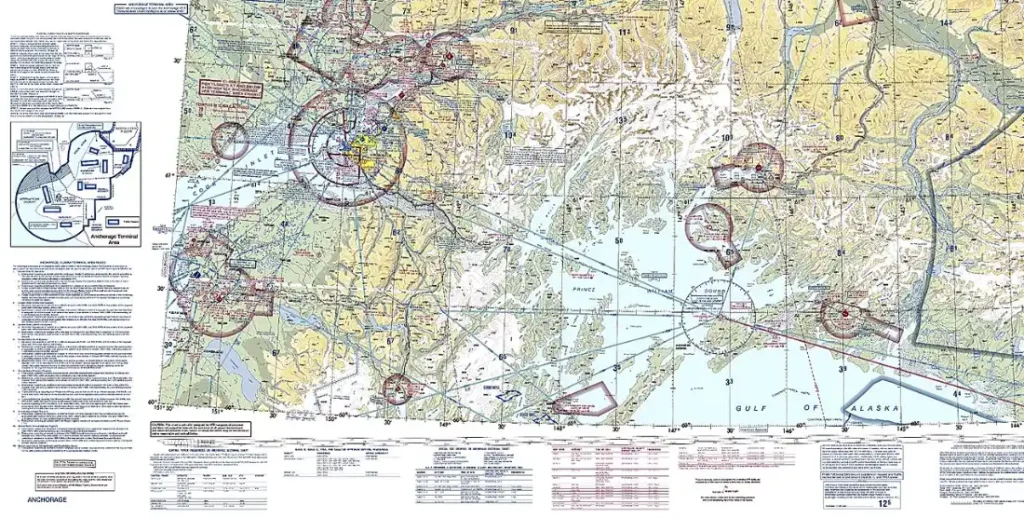
The first time I opened a Chart Supplement, I felt like I was reading a phone book written in shorthand. Rows of abbreviations, strange symbols, and remarks that seemed to assume I already knew the answer. Once somebody walked me through one entry line by line, it clicked, and I have relied on it for every cross-country since. Here is how I read the Chart Supplement airport entry, in the order I actually use it.
What the Chart Supplement Is
The Chart Supplement, formerly called the Airport/Facility Directory, is an FAA publication that lists details sectional charts cannot fit: runways, lighting, fuel, communications, and remarks about quirks at each airport. It is revised on a 56-day cycle, so always check that the edition you are using is current. The FAA offers it free in digital form, and most electronic flight bag apps include it.
Start With the Header Line
Each airport entry begins with a header line that packs in a lot. You will see the airport name, its location identifier, the distance and direction from the nearest city, and the field elevation. Elevation matters more than people think, especially on hot days when density altitude eats into your climb performance. You will also find the time convention, which tells you how the airport references local time against UTC. I always read this line twice, because a wrong identifier or elevation carries into everything else you plan.
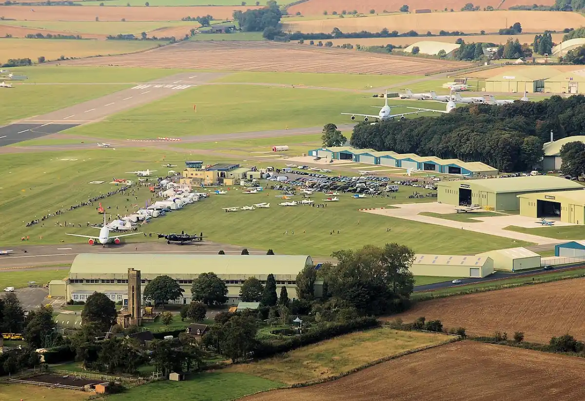
Fuel, Runways and Lighting
Below the header you will see fuel types listed in coded form, along with notes on whether service is available. Do not treat this as a guarantee. Listings can be out of date and pumps can be down, so I call ahead when fuel is part of the plan.
The runway data follows, listing length, width, surface, and weight-bearing capacity where published. Runway lighting appears here too, and many fields have pilot-controlled lighting that you activate with a set number of microphone clicks on the published frequency. If you plan to land at night, read the lighting remarks carefully so you are not guessing in the dark.
Remarks: Where the Real Information Lives
The remarks section is where I spend most of my time. This is where you find warnings about things like parachute activity, noise abatement procedures, unusual traffic patterns, wildlife concerns, runway slope, or limited hours of operation. These notes can change how you approach the airport entirely. A published right-hand pattern for one runway, for example, is exactly the type of detail that is easy to miss and embarrassing to learn about from a controller or another pilot on the frequency.
If something in the remarks looks unclear, I treat that as a reason to call the airport manager or check the latest NOTAMs rather than assume. The Chart Supplement is a snapshot on a 56-day cycle, and conditions change faster than that.
Communications Frequencies
The communications section lists the frequencies you will need: CTAF or tower, ground, ATIS or AWOS where available, and the approach and departure facilities that serve the area. I write the frequencies on my kneeboard before I start the engine. If you fly into non-towered fields, my post on radio calls at uncontrolled airports pairs well with this section, because knowing the frequency is only half of the job.
Using It in Your Preflight
I build the Chart Supplement into my preflight routine as a checkpoint, not an afterthought. For every departure, destination, and alternate, I read the entry and note anything that affects the flight. This ties directly into setting personal minimums for VFR flying, since runway length, lighting, and services are the sort of facts that decide whether an airport fits those minimums on a given day.
It also helps when you are planning a trip and will need to close your VFR flight plan afterward. Knowing the destination frequencies and the nearest flight service contact ahead of time removes one more thing to scramble for after landing.
One habit that has saved me: I read the entry for my alternate with the same care as my primary. An alternate you have never studied is not much of a plan.
Common Mistakes to Avoid
The biggest mistake I see is relying on an outdated edition. Check the effective date every time. The second is treating the supplement as a replacement for NOTAMs and a weather briefing, when it is only one piece of the picture.
Bottom Line
Learning to read the Chart Supplement is one of the cheapest ways to become a safer pilot. Go through the header, fuel, runway, lighting, remarks, and communications in the same order every time, confirm you have the current edition, and cross-check anything critical with a call or a NOTAM check. Do that, and the shorthand stops looking like a phone book and starts looking like a briefing from someone who has been there before you.

